


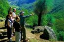


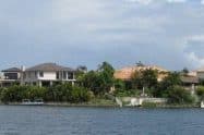

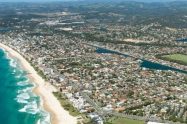


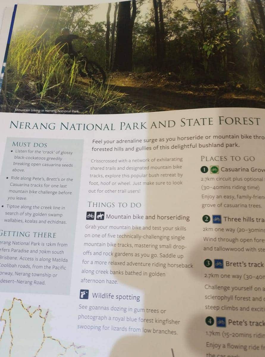
Nerang State Forest is located at the Gold Coast hinterland on the outskirts of Nerang and just 12 kilometres north-west of Surfers Paradise.
The forest is known as a “dry rainforest” with grey gum, stringybark, blue gum, and tallowwood trees, all of which provide a beautiful green backdrop to the residents of Nerang.
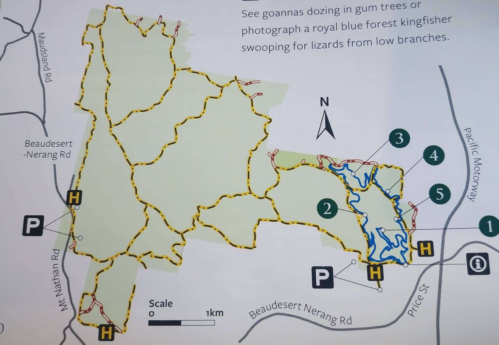
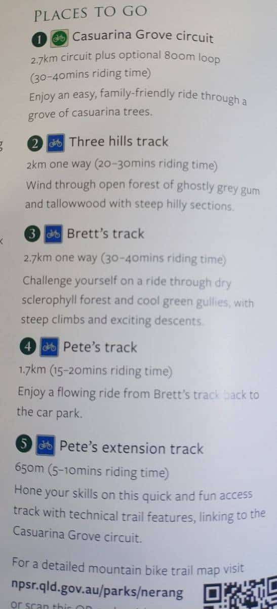
Nerang State Forest Walking Trails & Mountain Bike Map
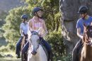
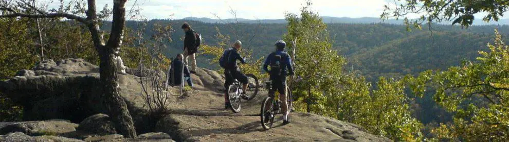
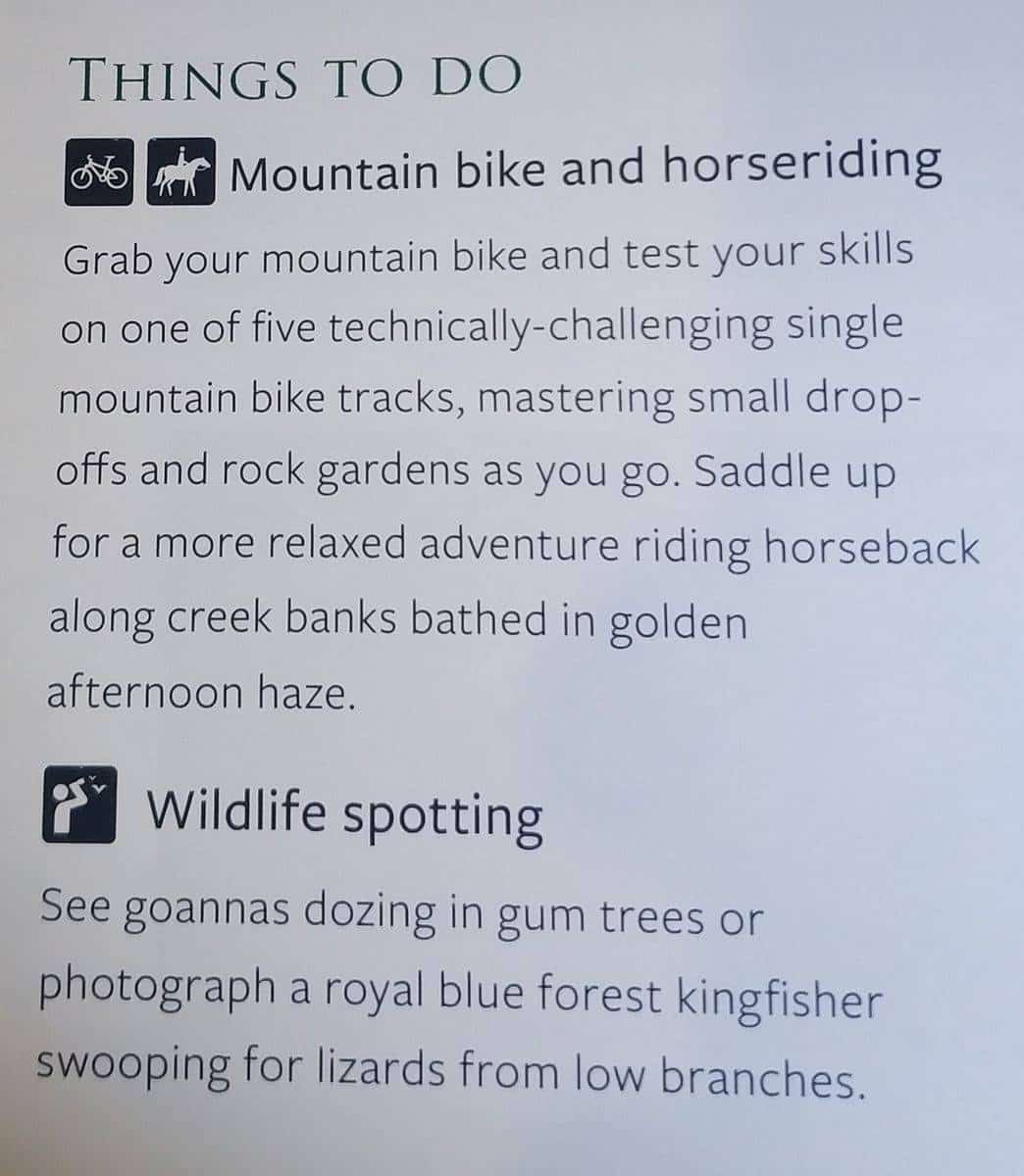
The forest consists of eucalyptus trees and stunning wildlife, with an appealing bushwalk, horse riding and mountain bike trails. The state forest can be accessed from Matilda or Coolibah Roads off the Pacific Motorway, Nerang township or Beaudesert-Nerang Road.Horse riding is one of the most popular activities within the Nerang State Forest as there is a multitude of horse riding trails within the state forest. Please note however that the horse riding trail network is multi-use, so you can expect to come across walkers, mountain bikes, motorbikes and 4WDs utilising the same trails.
For mountain bike riders, there are two popular tracks: the Casuarina Grove Circuit – a 2.7km track with optional 800m loop. This track takes most riders 30-40 minutes to complete; and the Three Hills Track – a 2km one-way track which joins up with the Casuarina Grove Circuit. This track will take approximately 20-30 minutes to complete. This track includes steep hilly sections, therefore a moderate level of fitness is recommended.


Do You Have a Question to Ask?